Uploading datasets from QGIS to GeoNode
The QGIS GeoNode plugin allows uploading existing QGIS datasets to a GeoNode instance. We will use some of the sample data and upload it using the following steps:
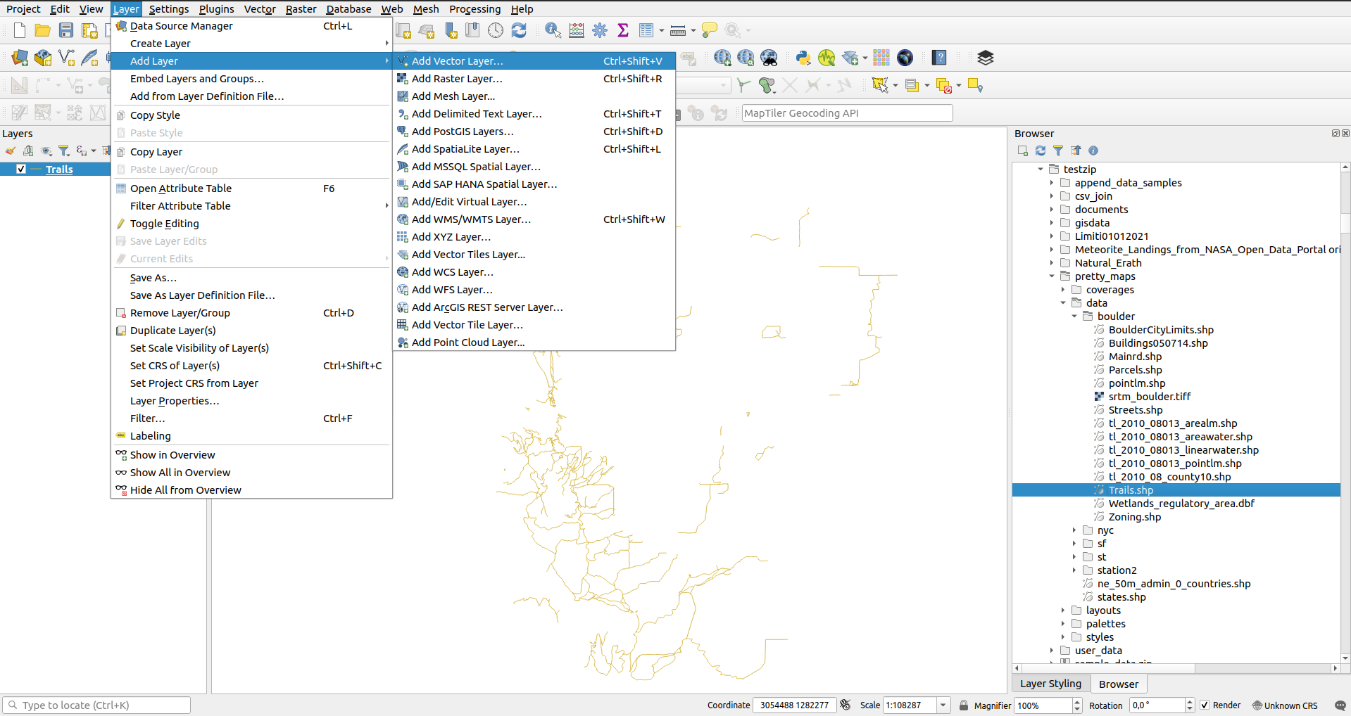
Load the vector dataset Trails.shp in your preferred manner
Drag and drop onto the map canvas
Use the Browser
Add vector dataset dialogue
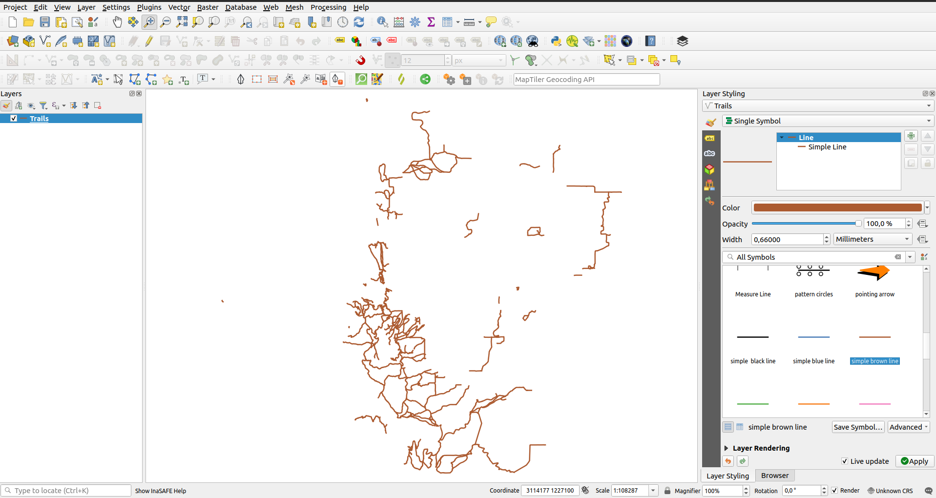
Style the dataset to a simple brown line
Double click on the dataset and in the properties navigate to the GeoNode tab.
locate the Upload dataset to the GeoNode group
Select an appropriate connection from the GeoNode connection drop-down eg. Test Connection 1.
Choose the default visibility to be applied to the uploaded dataset by toggling the Make dataset publicly available checkbox (check the box)
Click the
Upload dataset to GeoNode button. The plugin then proceeds to upload the dataset to GeoNode.
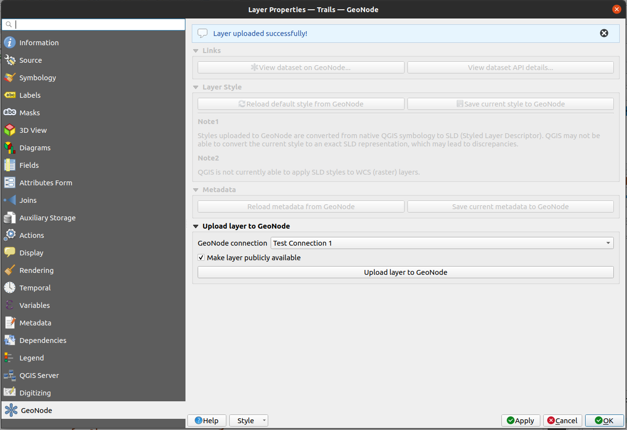
Note; Uploading a QGIS dataset to GeoNode is likely an operation that requires your GeoNode connection to use authentication.
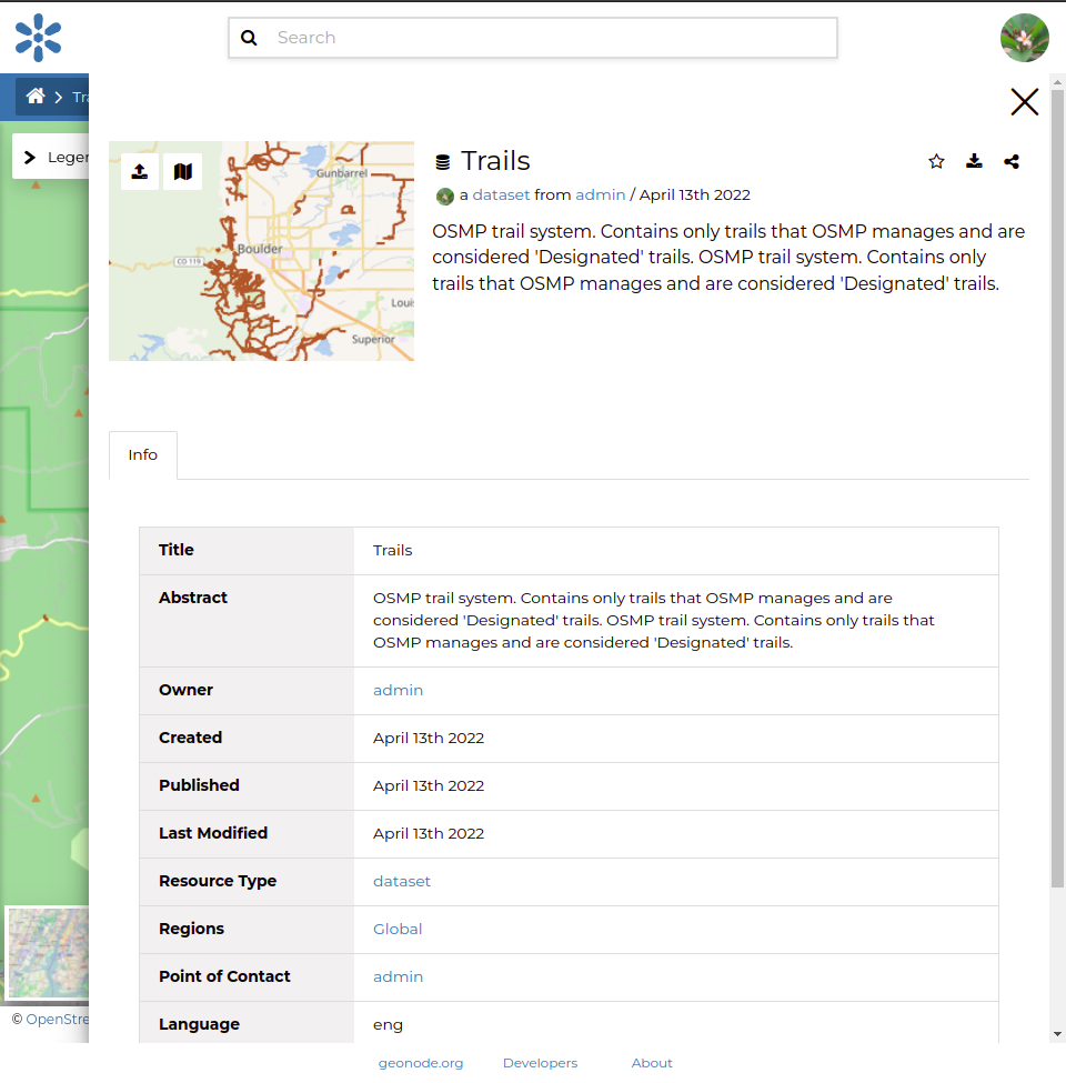
Go to your GeoNode instance and view the dataset uploaded from QGIS
The current version of this plugin uses a timeout of ten minutes for the dataset upload operation, which may be a limitation for large files. A future version of the plugin may allow the user to modify this value.