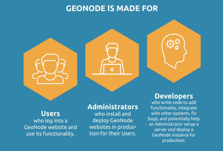
GeoNode Basics
GeoNode is a platform for the management and publication of geospatial data. It brings together mature open-source software projects under one easy-to-use interface.
With GeoNode, non-specialized users can share data and create interactive maps.
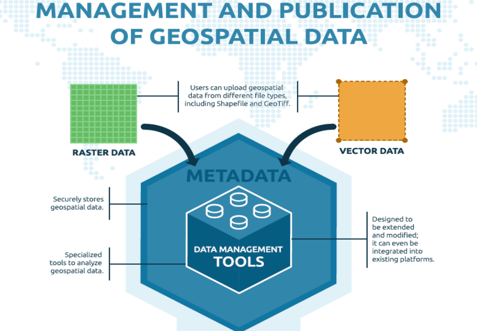
Geospatial data storage
GeoNode allows users to upload vector data (currently shapefiles, json, csv, kml, and kmz) and raster data in their original projections using a web form.
Vector data is converted into geospatial tables in a database while satellite imagery and other kinds of raster data are retained as GeoTIFFs.
Special importance is given to standard metadata formats like ISO 19139:2007 / ISO 19115 metadata standards.
As soon as any data is uploaded, the user can fill in metadata for the resource using a simple step-by-step form. The metadata is then available through the CSW (OGC Catalogue Service) endpoints and APIs.
Users may also upload a metadata XML document (ISO, FGDC, and Dublin Core format) to fill key GeoNode metadata elements automatically.
Similarly, GeoNode provides a web-based styler that lets the users change the data visualisation, including colour, size and shape. A preview of the data is available and any changes made to it are made to the preview in real-time.
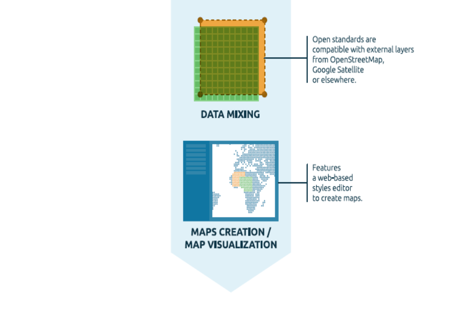
Data mixing and maps creation
Once the data is uploaded, GeoNode allows users to search for it geographically or via keywords to view the data and create custom and beautiful maps.
All the datasets are automatically re-projected to web Mercator for the maps display, making it possible to use different popular base datasets, like Open Street Map, Google Satellite, or Bing datasets, as context and base maps for custom visualisation amd maps.
Once the maps are saved, it is possible to embed them into any web page or get a PDF version for printing.
GeoNode as a building block
A handful of other Open Source projects extend GeoNode’s functionality by tapping into the re-usability of Django applications.
GeoNode can be integrated into other Django applications as a dependency or as a building block of a wider architecture.
Thanks to the GeoNode APIs, it is possible to use the component as a pure middleware and/or backend and storage for your geospatial datasets.
Thanks to the compatibility with standard security protocols, it can be used as a secure framework for data storage accessed by user credentials ensuring safety and security.